
ファイル:Morris Canal Plane 7 West from HABS.tiff

この TIF ファイルのこの JPG プレビューのサイズ: 750 × 599 ピクセル. その他の解像度: 300 × 240 ピクセル | 601 × 480 ピクセル | 961 × 768 ピクセル | 1,280 × 1,023 ピクセル | 2,560 × 2,046 ピクセル | 5,000 × 3,996 ピクセル。
元のファイル (5,000 × 3,996 ピクセル、ファイルサイズ: 19.06メガバイト、MIME タイプ: image/tiff)
ウィキメディア・コモンズのファイルページにある説明を、以下に表示します。
|
| 解説 |
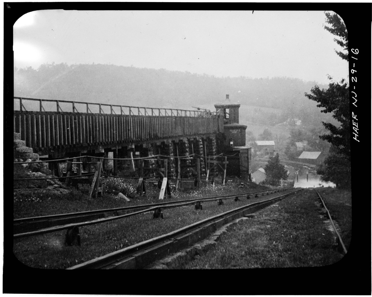
English: Inclined Plane 7 West near Bowerstown, showing flume that carries water to penstock, machinery tower in the middle to control winding machinery. |
||||
| 原典 |
|
||||
| 作者 | Historic American Buildings Survey | ||||
| 許可 (ファイルの再利用) |
|
||||
| その他のバージョン |


ファイルの履歴
過去の版のファイルを表示するには、その版の日時をクリックしてください。
| 日付と時刻 | サムネイル | 寸法 | 利用者 | コメント | |
|---|---|---|---|---|---|
| 現在の版 | 2014年2月19日 (水) 00:57 |  | 5,000 × 3,996 (19.06メガバイト) | Bonnachoven | {{Information |Description ={{en|1=Inclined Plane 7 West near Bowerstown, showing flume that carries water to penstock, machinery tower in the middle to control winding machinery.}} |Source =http://www.loc.gov/pictures/item/nj0903.photos.110... |
ファイルの使用状況
以下のページがこのファイルを使用しています:
グローバルなファイル使用状況
以下に挙げる他のウィキがこの画像を使っています:
- zh-two.iwiki.icu での使用状況