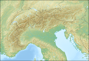
モンテ・モーロ峠
表示
| モンテ・モーロ峠 (Monte Moro) | |
|---|---|
 | |
| 所在地 | イタリア・スイス国境 |
| 座標 | 北緯45度59分53秒 東経7度58分53秒 / 北緯45.99806度 東経7.98139度座標: 北緯45度59分53秒 東経7度58分53秒 / 北緯45.99806度 東経7.98139度 |
| 標高 | 2,984 m |
| 山系 | ペンニネアルプス山脈 |
モンテ・モーロ峠(伊: Passo del Monte Moro)は、ペンニネアルプス山脈のイタリア・スイス国境にある峠。
「モンテ・モーロ」はイタリア語で「ムーア人の山」を意味し、939年にムーア人がザース谷に侵攻したことにちなむ地名とされている[1]。
峠には、金色の大きな聖母像が建立されている[2]。
山小屋
[編集]- オベルト・マロリーの山小屋 it:Rifugio Gaspare Oberto-Paolo Maroli (2,796m)
- ザッパ・ザンボニーの山小屋 it:Rifugio Zamboni-Zappa (2,070m)
脚注
[編集]- ^ “Walking, and staying at boutique hotels, in the Alps”. Guardian News and Media Limited. 2015年12月9日閲覧。 “Our first day takes us into Italy's Piedmont region over the 2,868m Monte Moro pass, named after the Moors who invaded the Saas valley in 939AD, and left a legacy of Moorish place names (and, say locals, noses).”
- ^ “Tour de Monte Rosa”. Tracks and Trails Ltd.. 2015年12月9日閲覧。 “After this easy warm up we start the climb to our first major col of the trip, the Monte Moro which sits at 2853m. There is a golden Madonna statue to welcome us at the frontier, and ...”

