
ファイル:Fife UK location map.svg

この SVG ファイルのこの PNG プレビューのサイズ: 742 × 600 ピクセル. その他の解像度: 297 × 240 ピクセル | 594 × 480 ピクセル | 950 × 768 ピクセル | 1,267 × 1,024 ピクセル | 2,533 × 2,048 ピクセル | 1,425 × 1,152 ピクセル。
元のファイル (SVG ファイル、1,425 × 1,152 ピクセル、ファイルサイズ: 1.61メガバイト)
ウィキメディア・コモンズのファイルページにある説明を、以下に表示します。
|
| 解説 |
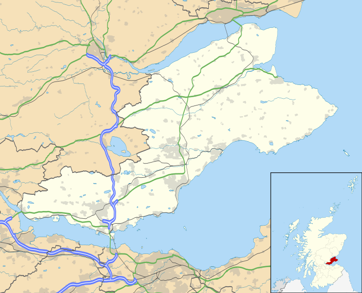
Blank map of Fife, UK with the following information shown:
Geographic limits:
|
| 日付 | |
| 原典 |
|
| 作者 | Nilfanion, created using Ordnance Survey data |
| 許可 (ファイルの再利用) |
このファイルはクリエイティブ・コモンズ 表示-継承 3.0 非移植ライセンスのもとに利用を許諾されています。 帰属: Contains Ordnance Survey data © Crown copyright and database right
|
| その他のバージョン | File:Fife UK blank map.svg - Blank map |
ファイルの履歴
過去の版のファイルを表示するには、その版の日時をクリックしてください。
| 日付と時刻 | サムネイル | 寸法 | 利用者 | コメント | |
|---|---|---|---|---|---|
| 現在の版 | 2010年9月26日 (日) 20:15 | | 1,425 × 1,152 (1.61メガバイト) | Nilfanion | {{Information |Description=Blank map of Fife, UK with the following information shown: *Administrative borders *Coastline, lakes and rivers *Roads and railways *Urban areas Equirectangular map projection on WGS 84 datum, with N/S stretched 17 |
ファイルの使用状況
以下の 8 ページがこのファイルを使用しています:
グローバルなファイル使用状況
以下に挙げる他のウィキがこの画像を使っています:
- ar.wikipedia.org での使用状況
- arz.wikipedia.org での使用状況
- bg.wikipedia.org での使用状況
- ca.wikipedia.org での使用状況
- ceb.wikipedia.org での使用状況
- cy.wikipedia.org での使用状況
- de.wikipedia.org での使用状況
- el.wikipedia.org での使用状況
- en-two.iwiki.icu での使用状況
- Aberdour
- Kinglassie
- Fife
- List of monastic houses in Scotland
- Newport-on-Tay
- North Queensferry
- Dalgety Bay
- Dunfermline
- St Andrews
- Kirkcaldy
- Cupar
- Crail
- Kinghorn
- Culross
- Inverkeithing
- Burntisland
- Leuchars Station
- Cowdenbeath
- Methil
- Rosyth
- Wormit
- Glenrothes
- Limekilns
- East End Park
- Ceres, Fife
- Pittenweem
- Dysart, Fife
- Auchtermuchty
- Leuchars
このファイルのグローバル使用状況を表示する。