
ファイル:Stirling UK relief location map.jpg
このプレビューのサイズ: 583 × 600 ピクセル。 その他の解像度: 233 × 240 ピクセル | 467 × 480 ピクセル | 747 × 768 ピクセル | 996 × 1,024 ピクセル | 2,002 × 2,059 ピクセル。
元のファイル (2,002 × 2,059 ピクセル、ファイルサイズ: 675キロバイト、MIME タイプ: image/jpeg)
ウィキメディア・コモンズのファイルページにある説明を、以下に表示します。
|
| 解説 |
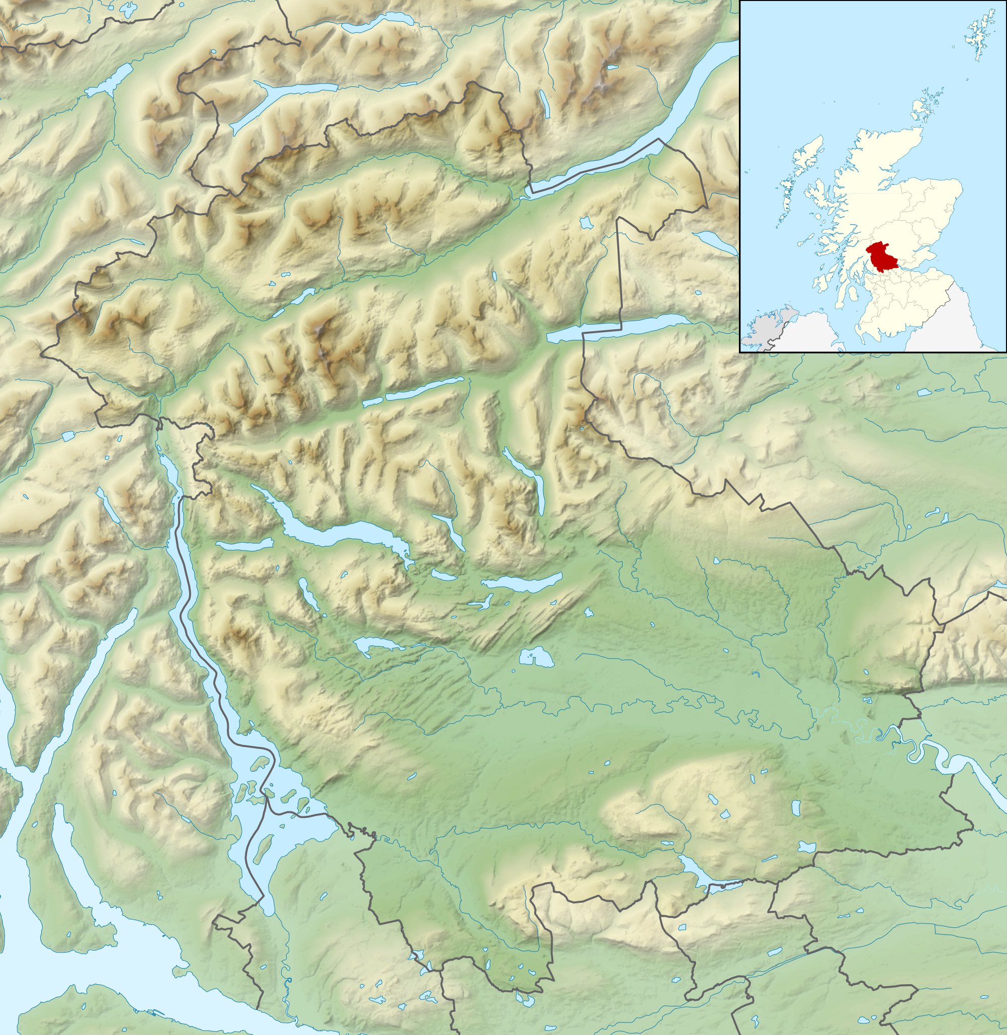
Relief map of Stirling, UK. Equirectangular map projection on WGS 84 datum, with N/S stretched 175% Geographic limits:
|
| 日付 | |
| 原典 |
|
| 作者 | Nilfanion, created using Ordnance Survey data |
| 許可 (ファイルの再利用) |
このファイルはクリエイティブ・コモンズ 表示-継承 3.0 非移植ライセンスのもとに利用を許諾されています。 帰属: Contains Ordnance Survey data © Crown copyright and database right
|
| その他のバージョン | File:Stirling UK blank map.svg - Blank map |
ファイルの履歴
過去の版のファイルを表示するには、その版の日時をクリックしてください。
| 日付と時刻 | サムネイル | 寸法 | 利用者 | コメント | |
|---|---|---|---|---|---|
| 現在の版 | 2011年11月30日 (水) 12:31 | | 2,002 × 2,059 (675キロバイト) | Nilfanion | {{Information |Description=Relief map of Stirling, UK. Equirectangular map projection on WGS 84 datum, with N/S stretched 175% Geographic limits: *West: 4.90W *East: 3.76W *North: 56.60N *South: 55.93N |Source=[[w:Ordnance Survey|Ordnance |
ファイルの使用状況
以下の 4 ページがこのファイルを使用しています:
グローバルなファイル使用状況
以下に挙げる他のウィキがこの画像を使っています:
- ar.wikipedia.org での使用状況
- bg.wikipedia.org での使用状況
- ceb.wikipedia.org での使用状況
- de.wikipedia.org での使用状況
- Ben Lomond (Schottland)
- Stirling Castle
- Loch Katrine
- Dumyat
- Doune Castle
- Ben Ledi
- Loch Achray
- Loch Ard
- Loch Chon
- Loch Drunkie
- Vorlage:Positionskarte Schottland Stirling
- Culcreuch Castle
- Loch Venachar
- Falls of Dochart
- Castle Menzies
- Lake of Menteith
- Inchbuie
- Inchcailloch
- Loch Lubnaig
- Loch Voil
- Ben Vorlich (Loch Earn)
- Stùc a’ Chroin
- Ben More (Crianlarich)
- Stob Binnein
- Cruach Ardrain
- Beinn Tulaichean
- An Caisteal
- Beinn a’ Chroin
- Beinn Chabhair
- Ben Oss
- Beinn Dubhchraig
- Ben Challum
- Meall Glas
- Sgiath Chùil
- Falls of Falloch
- Mugdock Castle
- Plean Castle
- Loch Arklet
- Dubh Lochan
- Falls of Lochay
- Loch Letter
- en-two.iwiki.icu での使用状況
このファイルのグローバル使用状況を表示する。