
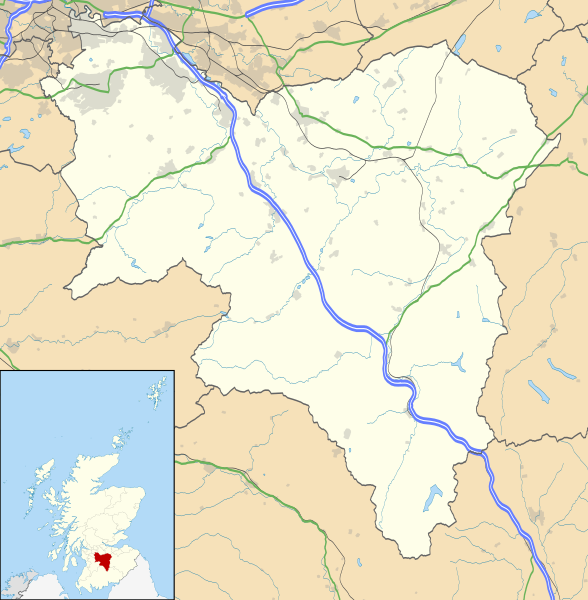
ファイル:South Lanarkshire UK location map.svg

この SVG ファイルのこの PNG プレビューのサイズ: 588 × 600 ピクセル. その他の解像度: 235 × 240 ピクセル | 471 × 480 ピクセル | 753 × 768 ピクセル | 1,004 × 1,024 ピクセル | 2,008 × 2,048 ピクセル | 1,319 × 1,345 ピクセル。
元のファイル (SVG ファイル、1,319 × 1,345 ピクセル、ファイルサイズ: 1.3メガバイト)
ウィキメディア・コモンズのファイルページにある説明を、以下に表示します。
|
| 解説 |
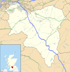
Blank map of South Lanarkshire, UK with the following information shown:
Equirectangular map projection on WGS 84 datum, with N/S stretched 170% Geographic limits:
|
| 日付 | |
| 原典 |
|
| 作者 | Nilfanion, created using Ordnance Survey data |
| 許可 (ファイルの再利用) |
このファイルはクリエイティブ・コモンズ 表示-継承 3.0 非移植ライセンスのもとに利用を許諾されています。 帰属: Contains Ordnance Survey data © Crown copyright and database right
|
| その他のバージョン | File:South Lanarkshire UK blank map.svg - Blank map |
ファイルの履歴
過去の版のファイルを表示するには、その版の日時をクリックしてください。
| 日付と時刻 | サムネイル | 寸法 | 利用者 | コメント | |
|---|---|---|---|---|---|
| 現在の版 | 2010年9月26日 (日) 20:25 | | 1,319 × 1,345 (1.3メガバイト) | Nilfanion | {{Information |Description=Blank map of South Lanarkshire, UK with the following information shown: *Administrative borders *Coastline, lakes and rivers *Roads and railways *Urban areas Equirectangular map projection on WGS 84 dat |
ファイルの使用状況
以下の 6 ページがこのファイルを使用しています:
グローバルなファイル使用状況
以下に挙げる他のウィキがこの画像を使っています:
- ar.wikipedia.org での使用状況
- bg.wikipedia.org での使用状況
- ceb.wikipedia.org での使用状況
- cs.wikipedia.org での使用状況
- de.wikipedia.org での使用状況
- en-two.iwiki.icu での使用状況
- Hamilton, South Lanarkshire
- List of monastic houses in Scotland
- South Lanarkshire
- Rutherglen
- Lanark
- East Kilbride
- Cambuslang
- Biggar, South Lanarkshire
- New Lanark
- Blantyre, South Lanarkshire
- Lesmahagow
- Kirkmuirhill
- Blackwood, South Lanarkshire
- Larkhall
- Bothwell
- Falls of Clyde (waterfalls)
- Bothwell Castle
- Strathaven
- Carluke
- Leadhills
- Uddingston
- Walston, South Lanarkshire
- Abington, South Lanarkshire
- Eastfield, South Lanarkshire
- Fernhill, South Lanarkshire
- Carnwath
- Coulter, South Lanarkshire
- Forth, South Lanarkshire
- Law, South Lanarkshire
- Braidwood, South Lanarkshire
- Craignethan Castle
- Ferniegair
このファイルのグローバル使用状況を表示する。