
ファイル:North Hertfordshire UK locator map.svg

この SVG ファイルのこの PNG プレビューのサイズ: 800 × 557 ピクセル. その他の解像度: 320 × 223 ピクセル | 640 × 446 ピクセル | 1,024 × 713 ピクセル | 1,280 × 891 ピクセル | 2,560 × 1,782 ピクセル | 1,425 × 992 ピクセル。
元のファイル (SVG ファイル、1,425 × 992 ピクセル、ファイルサイズ: 846キロバイト)
ウィキメディア・コモンズのファイルページにある説明を、以下に表示します。
|
| 解説 |
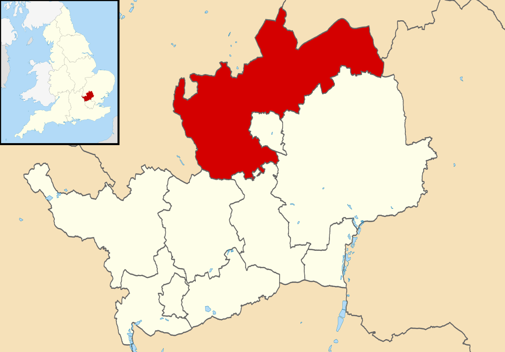
Map of Hertfordshire, UK with North Hertfordshire highlighted. Equirectangular map projection on WGS 84 datum, with N/S stretched 160% |
| 日付 | |
| 原典 |
|
| 作者 | Nilfanion, created using Ordnance Survey data |
| 許可 (ファイルの再利用) |
このファイルはクリエイティブ・コモンズ 表示-継承 3.0 非移植ライセンスのもとに利用を許諾されています。 帰属: Contains Ordnance Survey data © Crown copyright and database right
|
ファイルの履歴
過去の版のファイルを表示するには、その版の日時をクリックしてください。
| 日付と時刻 | サムネイル | 寸法 | 利用者 | コメント | |
|---|---|---|---|---|---|
| 現在の版 | 2011年8月3日 (水) 22:50 | | 1,425 × 992 (846キロバイト) | Nilfanion | {{Information |Description=Map of Hertfordshire, UK with North Hertfordshire highlighted. Equirectangular map projection on WGS 84 datum, with N/S stretched 160% |Source=Ordnance Survey |
ファイルの使用状況
以下の 2 ページがこのファイルを使用しています:
グローバルなファイル使用状況
以下に挙げる他のウィキがこの画像を使っています:
- cy.wikipedia.org での使用状況
- en-two.iwiki.icu での使用状況
- es.wikipedia.org での使用状況
- frr.wikipedia.org での使用状況
- fr.wikipedia.org での使用状況
- Letchworth Garden City
- Hitchin
- Ickleford
- Knebworth
- Baldock
- Royston (Hertfordshire)
- Ashwell (Hertfordshire)
- North Hertfordshire
- St Ippolyts
- Nuthampstead
- Reed (Royaume-Uni)
- Liste des paroisses civiles du Hertfordshire
- Barley (Hertfordshire)
- Barkway
- Modèle:Palette North Hertfordshire
- Bygrave
- Caldecote (Hertfordshire)
- Clothall
- Codicote
- Graveley (Hertfordshire)
- Great Ashby
- Hexton
- Hinxworth
- Holwell (Hertfordshire)
- Kelshall
- Kimpton (Hertfordshire)
- King's Walden
- Langley (Hertfordshire)
- Lilley (Hertfordshire)
- Newnham (Hertfordshire)
- Offley
- Pirton (Hertfordshire)
- Preston (Hertfordshire)
- Radwell (Hertfordshire)
- Rushden (Hertfordshire)
- Sandon (Hertfordshire)
- St Paul's Walden
- Therfield
- Wallington (Hertfordshire)
- Weston (Hertfordshire)
- Wymondley
- ko.wikipedia.org での使用状況
- lv.wikipedia.org での使用状況
- nl.wikipedia.org での使用状況
- no.wikipedia.org での使用状況
このファイルのグローバル使用状況を表示する。