
ファイル:Moray UK location map.svg

この SVG ファイルのこの PNG プレビューのサイズ: 595 × 599 ピクセル. その他の解像度: 238 × 240 ピクセル | 477 × 480 ピクセル | 763 × 768 ピクセル | 1,017 × 1,024 ピクセル | 2,034 × 2,048 ピクセル | 1,414 × 1,424 ピクセル。
元のファイル (SVG ファイル、1,414 × 1,424 ピクセル、ファイルサイズ: 1.22メガバイト)
ウィキメディア・コモンズのファイルページにある説明を、以下に表示します。
|
| 解説 |
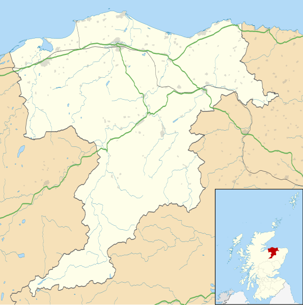
Blank map of Moray, UK with the following information shown:
Equirectangular map projection on WGS 84 datum, with N/S stretched 180% Geographic limits:
|
| 日付 | |
| 原典 |
|
| 作者 | Nilfanion, created using Ordnance Survey data |
| 許可 (ファイルの再利用) |
このファイルはクリエイティブ・コモンズ 表示-継承 3.0 非移植ライセンスのもとに利用を許諾されています。 帰属: Contains Ordnance Survey data © Crown copyright and database right
|
| その他のバージョン | File:Moray UK blank map.svg - Blank map |
ファイルの履歴
過去の版のファイルを表示するには、その版の日時をクリックしてください。
| 日付と時刻 | サムネイル | 寸法 | 利用者 | コメント | |
|---|---|---|---|---|---|
| 現在の版 | 2010年9月26日 (日) 20:18 | | 1,414 × 1,424 (1.22メガバイト) | Nilfanion | {{Information |Description=Blank map of Moray, UK with the following information shown: *Administrative borders *Coastline, lakes and rivers *Roads and railways *Urban areas Equirectangular map projection on WGS 84 datum, with N/S stretched 1 |
ファイルの使用状況
以下の 4 ページがこのファイルを使用しています:
グローバルなファイル使用状況
以下に挙げる他のウィキがこの画像を使っています:
- ar.wikipedia.org での使用状況
- azb.wikipedia.org での使用状況
- bg.wikipedia.org での使用状況
- ceb.wikipedia.org での使用状況
- cy.wikipedia.org での使用状況
- de.wikipedia.org での使用状況
- en-two.iwiki.icu での使用状況
- Maggieknockater
- List of monastic houses in Scotland
- Moray
- Elgin, Moray
- The Glenlivet distillery
- Dufftown
- Forres
- Lossiemouth
- Burghead
- RAF Lossiemouth
- RAF Kinloss
- Brodie Castle
- Ballindalloch Castle
- The Macallan distillery
- Buckie
- Glenfiddich distillery
- Findochty
- Fochabers
- Aberlour
- Cullen, Moray
- Tomintoul
- Burghead Transmitting Station
- Keith, Moray
- Mosstodloch
- Rothes
- Findhorn
- Kinloss, Scotland
- Portknockie
- Drummuir
- Rathven
- Dallas, Moray
- Longmorn
- Borough Briggs
- Craigellachie, Moray
- Mosset Park
- Newmill
- Cummingston
- Hopeman
- Dr Gray's Hospital
- Urquhart, Moray
このファイルのグローバル使用状況を表示する。