
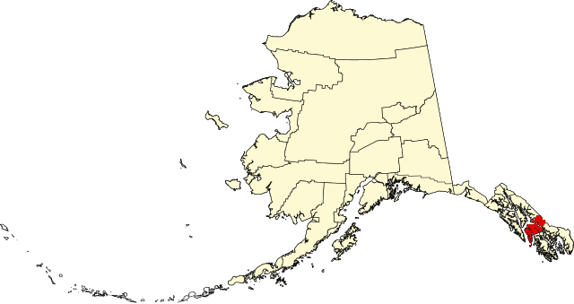
ファイル:Map of Alaska highlighting Petersburg Census Area.svg

この SVG ファイルのこの PNG プレビューのサイズ: 800 × 423 ピクセル. その他の解像度: 320 × 169 ピクセル | 640 × 338 ピクセル | 1,024 × 541 ピクセル | 1,280 × 677 ピクセル | 2,560 × 1,353 ピクセル | 1,470 × 777 ピクセル。
元のファイル (SVG ファイル、1,470 × 777 ピクセル、ファイルサイズ: 644キロバイト)
ウィキメディア・コモンズのファイルページにある説明を、以下に表示します。
|
| 解説 | |||
| 日付 | |||
| 原典 | 投稿者自身による著作物 | ||
| 作者 | Dtbohrer | ||
| 許可 (ファイルの再利用) |
|
||
| その他のバージョン |
 |
||
| SVG 開発 |
ファイルの履歴
過去の版のファイルを表示するには、その版の日時をクリックしてください。
| 日付と時刻 | サムネイル | 寸法 | 利用者 | コメント | |
|---|---|---|---|---|---|
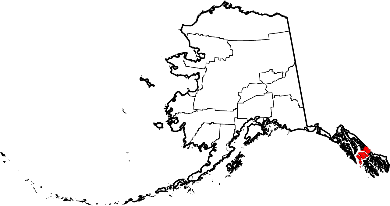
| 現在の版 | 2024年6月25日 (火) 20:12 | | 1,470 × 777 (644キロバイト) | Nux | uniform colors with good contrast |
| 2009年1月25日 (日) 22:17 |  | 1,470 × 777 (428キロバイト) | Niagara | == Summary == {{Information |Description={{en|1=Map of Alaska highlighting the Petersburg Census Area}} |Source=self made |Author=Dtbohrer |Date=January 25, 2009 |Permission= |other_versi |
ファイルの使用状況
以下の 2 ページがこのファイルを使用しています:
グローバルなファイル使用状況
以下に挙げる他のウィキがこの画像を使っています:
- ca.wikipedia.org での使用状況
- ce.wikipedia.org での使用状況
- cy.wikipedia.org での使用状況
- de.wikipedia.org での使用状況
- en-two.iwiki.icu での使用状況
- List of boroughs and census areas in Alaska
- Petersburg Borough, Alaska
- Mitkof Island
- Wrangell Narrows
- Frederick Sound
- Sumner Strait
- Chatham Strait
- Petrof Bay
- LeConte Glacier
- Wikipedia:WikiProject Alaska
- LeConte Bay
- Chuck River Wilderness
- ABC Islands (Alaska)
- Lloyd R. Roundtree Seaplane Facility
- Sebree Peak
- Lindenberg Peninsula
- Template:PetersburgAK-geo-stub
- Duncan Canal (Alaska)
- Favor Peak
- Sam Peak
- Manzanita Peak
- Duncan Canal (volcanic field)
- National Register of Historic Places listings in Petersburg Borough, Alaska
- Kates Needle
- Woewodski Island
- Charles W
- Category:Populated places in Petersburg Borough, Alaska
- Petersburg Creek–Duncan Salt Chuck Wilderness
- Dry Strait
- User:AridCeption/sandbox
- File talk:Map of Alaska highlighting Petersburg Census Area.svg
- es.wikipedia.org での使用状況
- fi.wikipedia.org での使用状況
- fr.wikipedia.org での使用状況
- ga.wikipedia.org での使用状況
- hu.wikipedia.org での使用状況
- ko.wikipedia.org での使用状況
このファイルのグローバル使用状況を表示する。