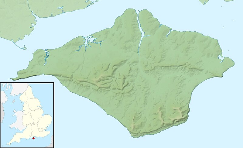
ファイル:Isle of Wight UK relief location map.jpg
表示

このプレビューのサイズ: 800 × 487 ピクセル。 その他の解像度: 320 × 195 ピクセル | 640 × 390 ピクセル | 1,024 × 624 ピクセル | 1,280 × 780 ピクセル | 1,999 × 1,218 ピクセル。
元のファイル (1,999 × 1,218 ピクセル、ファイルサイズ: 158キロバイト、MIME タイプ: image/jpeg)
ファイルの履歴
過去の版のファイルを表示するには、その版の日時をクリックしてください。
| 日付と時刻 | サムネイル | 寸法 | 利用者 | コメント | |
|---|---|---|---|---|---|
| 現在の版 | 2011年11月29日 (火) 01:41 |  | 1,999 × 1,218 (158キロバイト) | Nilfanion | {{Information |Description=Relief map of the Isle of Wight, UK. Equirectangular map projection on WGS 84 datum, with N/S stretched 155% Geographic limits: *West: 1.61W *East: 1.05W *North: 50.78N *South: 50.56N |Source=[[w:Ordnance S |
ファイルの使用状況
以下の 3 ページがこのファイルを使用しています:
グローバルなファイル使用状況
以下に挙げる他のウィキがこの画像を使っています:
- ar.wikipedia.org での使用状況
- bg.wikipedia.org での使用状況
- ceb.wikipedia.org での使用状況
- en-two.iwiki.icu での使用状況
- St Boniface Down
- Module:Location map/data/United Kingdom Isle of Wight/doc
- Whale Chine
- Widdick Chine
- Scratchell's Bay
- Totland Bay
- Watcombe Bay
- Bembridge Lifeboat Station
- Yarmouth Lifeboat Station
- Ryde Inshore Rescue Service
- Freshwater Bay Independent Lifeboat Station
- Sandown and Shanklin Independent Lifeboat Station
- Ryde Lifeboat Station
- Module:Location map/data/United Kingdom Isle of Wight
- Module:Location map/data/Isle of Wight
- User:KnightStryker/sandbox/Freshwater Independent Lifeboat Station
- Isle of Wight Jewish Society
- Hunny Hill
- Woodlands Vale
- Brighstone Grange Lifeboat Station
- Brook Lifeboat Station
- Atherfield Lifeboat Station
- es.wikipedia.org での使用状況
- fr.wikipedia.org での使用状況
- kn.wikipedia.org での使用状況
- la.wikipedia.org での使用状況
- lv.wikipedia.org での使用状況
- ml.wikipedia.org での使用状況
- ms.wikipedia.org での使用状況
- nl.wikipedia.org での使用状況
- os.wikipedia.org での使用状況
- pl.wikipedia.org での使用状況
- pl.wikibooks.org での使用状況
- sco.wikipedia.org での使用状況
このファイルのグローバル使用状況を表示する。
