
ファイル:France Germany Locator (World).svg

この SVG ファイルのこの PNG プレビューのサイズ: 800 × 353 ピクセル. その他の解像度: 320 × 141 ピクセル | 640 × 283 ピクセル | 1,024 × 452 ピクセル | 1,280 × 565 ピクセル | 2,560 × 1,130 ピクセル | 940 × 415 ピクセル。
元のファイル (SVG ファイル、940 × 415 ピクセル、ファイルサイズ: 1.46メガバイト)
ウィキメディア・コモンズのファイルページにある説明を、以下に表示します。
|
.svg?uselang=ja)
.svg?uselang=ja)
.svg?uselang=ja&action=history)
.svg)
| 解説 |
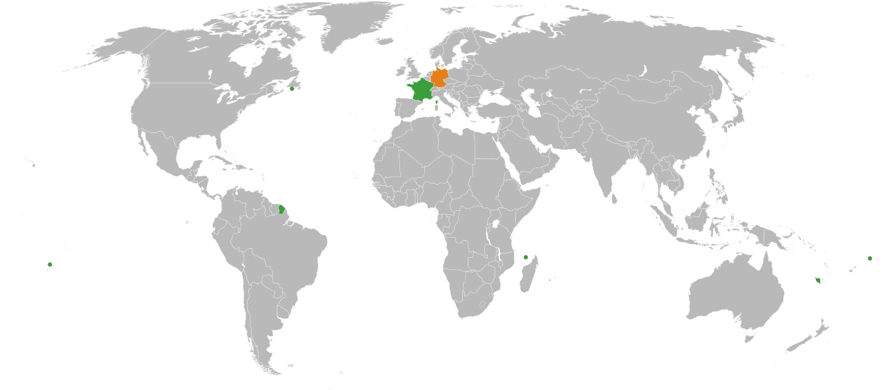
English: A map of the location of France and Germany, including the French territories.
Germany
France |
| 日付 | |
| 原典 |
|
| 作者 | Lokal_Profil |
| 許可 (ファイルの再利用) |
このファイルはクリエイティブ・コモンズ 表示-継承 2.5 一般ライセンスのもとに利用を許諾されています。
|
| その他のバージョン | In Europe: File:France Germany Locator (Europe).svg |
.svg)
ファイルの履歴
過去の版のファイルを表示するには、その版の日時をクリックしてください。
| 日付と時刻 | サムネイル | 寸法 | 利用者 | コメント | |
|---|---|---|---|---|---|
| 現在の版 | 2018年3月10日 (土) 22:39 | | 940 × 415 (1.46メガバイト) | BegbertBiggs | Reverted to version as of 20:10, 14 December 2007 (UTC) |
| 2018年3月10日 (土) 22:38 |  | 593 × 606 (703キロバイト) | BegbertBiggs | Changed to map of Europe for better visibility. | |
| 2007年12月14日 (金) 20:10 |  | 940 × 415 (1.46メガバイト) | Lokal Profil | Added the Overseas collectivities of France | |
| 2007年12月14日 (金) 20:01 |  | 940 × 415 (1.46メガバイト) | Lokal Profil | {{Information |Description={{en|A map of the location of France and Germany, including the French territories.}} {{legend|#e3801c|Germany}} {{legend|#3c9d3c|France}} |Source=*Vector map from [[:Image:BlankMap-World6, compact.svg|BlankMap-World6, compact.s |
ファイルの使用状況
このファイルを使用しているページはありません。
グローバルなファイル使用状況
以下に挙げる他のウィキがこの画像を使っています:
.svg)