
ファイル:Dundee UK location map.svg

この SVG ファイルのこの PNG プレビューのサイズ: 768 × 599 ピクセル. その他の解像度: 308 × 240 ピクセル | 615 × 480 ピクセル | 984 × 768 ピクセル | 1,280 × 999 ピクセル | 2,560 × 1,998 ピクセル | 1,425 × 1,112 ピクセル。
元のファイル (SVG ファイル、1,425 × 1,112 ピクセル、ファイルサイズ: 717キロバイト)
ウィキメディア・コモンズのファイルページにある説明を、以下に表示します。
|
| 解説 |
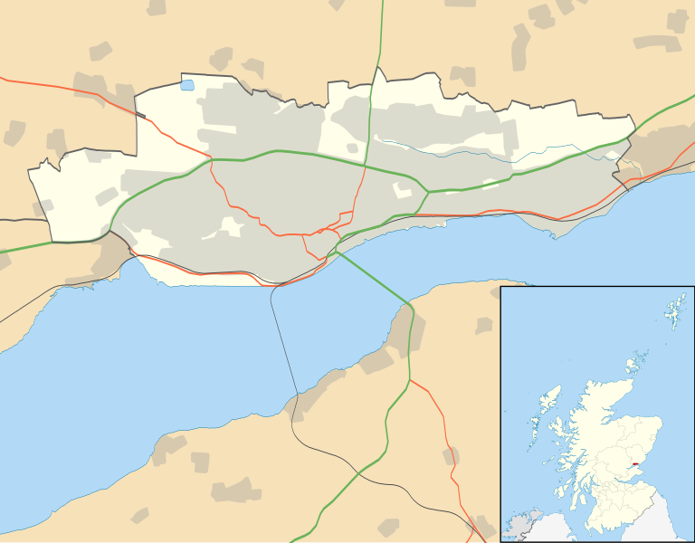
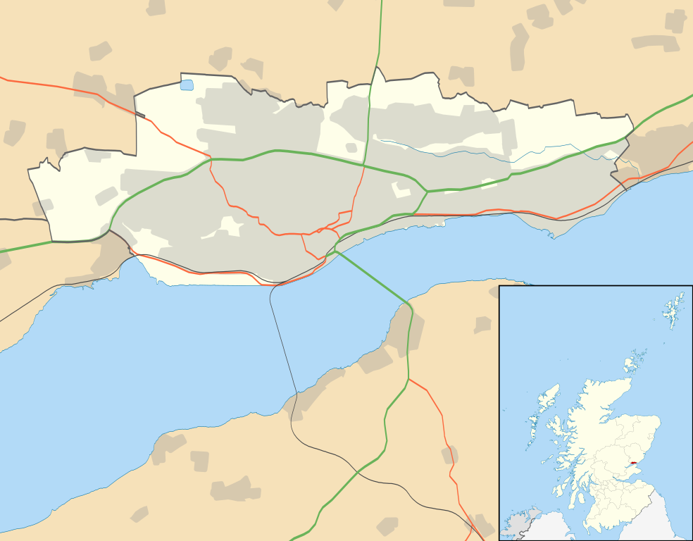
Blank map of Dundee, UK with the following information shown:
Equirectangular map projection on WGS 84 datum, with N/S stretched 170% Geographic limits:
|
| 日付 | |
| 原典 |
|
| 作者 | Nilfanion, created using Ordnance Survey data |
| 許可 (ファイルの再利用) |
このファイルはクリエイティブ・コモンズ 表示-継承 3.0 非移植ライセンスのもとに利用を許諾されています。 帰属: Contains Ordnance Survey data © Crown copyright and database right
|
| その他のバージョン | File:Dundee UK blank map.svg - Blank map |
ファイルの履歴
過去の版のファイルを表示するには、その版の日時をクリックしてください。
| 日付と時刻 | サムネイル | 寸法 | 利用者 | コメント | |
|---|---|---|---|---|---|
| 現在の版 | 2010年9月26日 (日) 20:07 | | 1,425 × 1,112 (717キロバイト) | Nilfanion | {{Information |Description=Blank map of Dundee, UK with the following information shown: *Administrative borders *Coastline, lakes and rivers *Roads and railways *Urban areas Equirectangular map projection on WGS 84 datum, with N/S stretched |
ファイルの使用状況
以下の 3 ページがこのファイルを使用しています:
グローバルなファイル使用状況
以下に挙げる他のウィキがこの画像を使っています:
- ar.wikipedia.org での使用状況
- bg.wikipedia.org での使用状況
- ceb.wikipedia.org での使用状況
- de.wikipedia.org での使用状況
- en-two.iwiki.icu での使用状況
- Dundee
- Newport-on-Tay
- Camperdown, Dundee
- Broughty Ferry
- Wormit
- Tannadice Park
- Dens Park
- Stobswell
- Lochee
- Dundee Airport
- Monifieth
- Liff, Angus
- Broughty Ferry railway station
- Template:Dundee-geo-stub
- Strathmartine
- Balgowan, Dundee
- Ninewells
- Claverhouse
- Logie, Dundee
- Balgay
- Seagate bus station
- Dundee Law
- West End, Dundee
- Scottish Junior Football East Region Premier League North
- Barnhill, Dundee
- Dundee Contemporary Arts
- Douglas, Dundee
- Murroes
- Pitkerro
- Fintry, Dundee
- Menzieshill
- Ardler
- Charleston, Dundee
- Whitfield, Dundee
- Invergowrie
- The McManus
- Ninewells Hospital
- City Centre, Dundee
- Birkhill, Angus
- Craigiebank
このファイルのグローバル使用状況を表示する。