
ファイル:Dorset UK location map.svg

この SVG ファイルのこの PNG プレビューのサイズ: 800 × 556 ピクセル. その他の解像度: 320 × 222 ピクセル | 640 × 445 ピクセル | 1,024 × 711 ピクセル | 1,280 × 889 ピクセル | 2,560 × 1,779 ピクセル | 1,425 × 990 ピクセル。
元のファイル (SVG ファイル、1,425 × 990 ピクセル、ファイルサイズ: 1.64メガバイト)
ウィキメディア・コモンズのファイルページにある説明を、以下に表示します。
|
| 解説 |
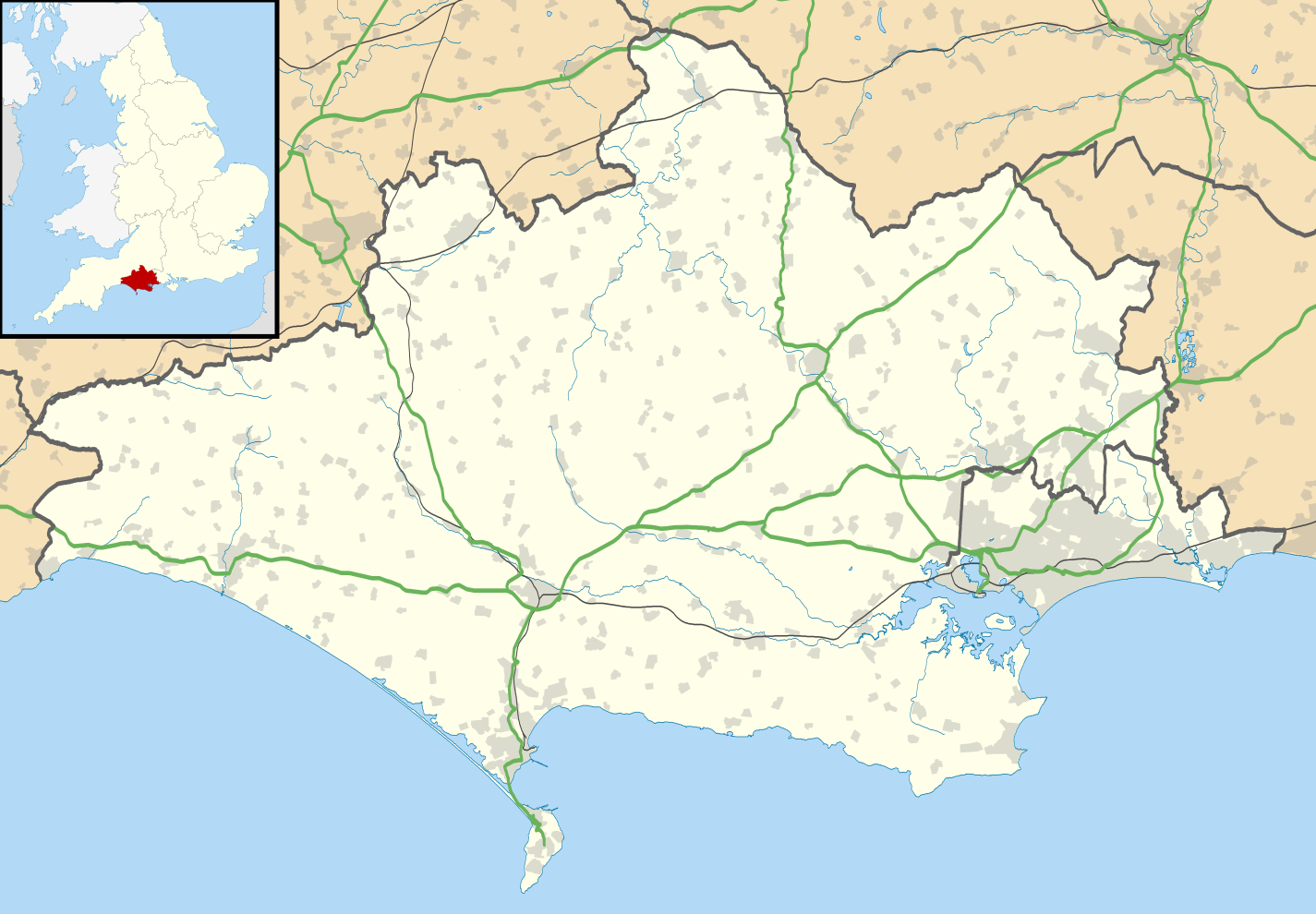
Map of Dorset, UK with the following information shown:
Equirectangular map projection on WGS 84 datum, with N/S stretched 155% Geographic limits:
|
| 日付 | |
| 原典 |
|
| 作者 | Nilfanion, created using Ordnance Survey data |
| 許可 (ファイルの再利用) |
このファイルはクリエイティブ・コモンズ 表示-継承 3.0 非移植ライセンスのもとに利用を許諾されています。 帰属: Contains Ordnance Survey data © Crown copyright and database right
|
| その他のバージョン | File:Dorset UK district map (blank).svg - Blank map |
.svg)
ファイルの履歴
過去の版のファイルを表示するには、その版の日時をクリックしてください。
| 日付と時刻 | サムネイル | 寸法 | 利用者 | コメント | |
|---|---|---|---|---|---|
| 現在の版 | 2019年4月22日 (月) 19:26 | | 1,425 × 990 (1.64メガバイト) | The Equalizer | Resized to original dimensions |
| 2019年4月16日 (火) 04:12 |  | 1,338 × 982 (1.67メガバイト) | The Equalizer | Updated boundaries reflecting 2019 local government changes | |
| 2010年9月26日 (日) 18:48 |  | 1,425 × 990 (1.73メガバイト) | Nilfanion | {{Information |Description=Map of Dorset, UK with the following information shown: *Administrative borders *Coastline, lakes and rivers *Roads and railways *Urban areas Equirectangular map projection on WGS 84 datum, with N/S stretched 155% |
ファイルの使用状況
以下の 7 ページがこのファイルを使用しています:
グローバルなファイル使用状況
以下に挙げる他のウィキがこの画像を使っています:
- ar.wikipedia.org での使用状況
- bg.wikipedia.org での使用状況
- ceb.wikipedia.org での使用状況
- de.wikipedia.org での使用状況
- Brownsea Island
- Isle of Portland
- Corfe Castle
- Christchurch (Dorset)
- Vitality Stadium
- Kernkraftwerk Winfrith
- Bournemouth Airport
- Portland Bill Lighthouse
- Old Harry Rocks
- Poole Harbour
- Durlston Bay
- Isle of Purbeck
- Worbarrow Bay
- St Alban’s Head
- Chapman’s Pool
- Benutzer:Huligan0/Info Box Halbinsel
- Peveril Point
- Benutzer:Huligan0/Info Box Berg
- Swyre Head (Kingston)
- Swyre Head (Lulworth)
- Anvil Point
- Cow Corner
- Parson’s Barn
- Vorlage:Positionskarte England Dorset
- Benutzer:Huligan0/Egmont Bight
- Egmont Bight
- Benutzer:Huligan0/Chapman's Pool
- Benutzer:Huligan0/Worbarrow Tout
- Worbarrow Tout
- Gad Cliff
- Benutzer:Huligan0/Brandy Bay
- Benutzer:Huligan0/Hobarrow Bay
- Benutzer:Huligan0/Pondfield Cove
- Brandy Bay
- Benutzer:Huligan0/Hen Cliff
- Hobarrow Bay
- Benutzer:Huligan0/The Pinnacles
- The Pinnacles (Dorset)
- el.wikipedia.org での使用状況
- en-two.iwiki.icu での使用状況
このファイルのグローバル使用状況を表示する。