ファイル:Cumberland Basin looking North.jpg
表示

このプレビューのサイズ: 800 × 533 ピクセル。 その他の解像度: 320 × 213 ピクセル | 640 × 427 ピクセル | 1,024 × 683 ピクセル | 1,280 × 853 ピクセル | 2,560 × 1,707 ピクセル | 4,896 × 3,264 ピクセル。
元のファイル (4,896 × 3,264 ピクセル、ファイルサイズ: 9.83メガバイト、MIME タイプ: image/jpeg)
ファイルの履歴
過去の版のファイルを表示するには、その版の日時をクリックしてください。
| 日付と時刻 | サムネイル | 寸法 | 利用者 | コメント | |
|---|---|---|---|---|---|
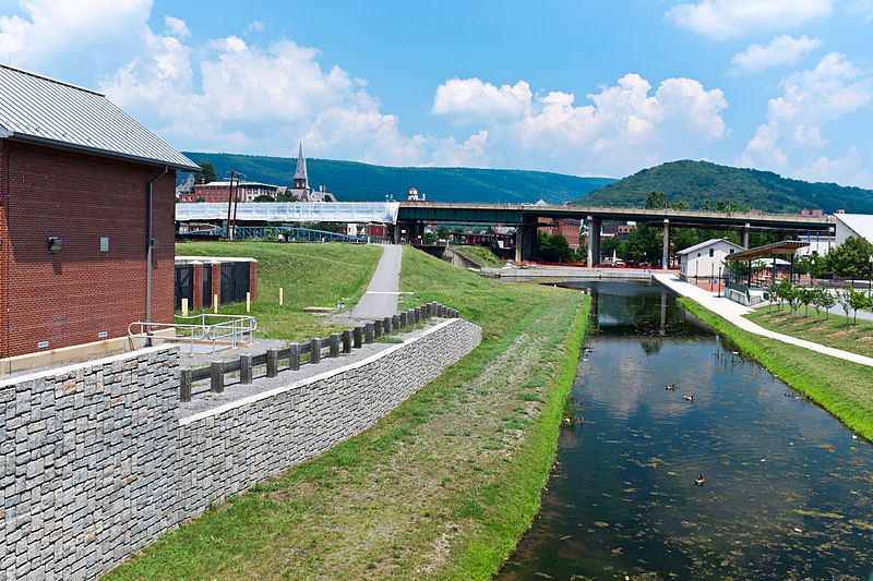
| 現在の版 | 2013年7月20日 (土) 10:01 |  | 4,896 × 3,264 (9.83メガバイト) | Bonnachoven | {{Information |Description ={{en|1=This is the basin at the end of the Chesapeake and Ohio Canal, looking north toward the end of the canal. Guard lock #8 is at the end of the channel on the left. Interstate Highway 68 / US 40 / US 220 runs on that ... |
ファイルの使用状況
以下のページがこのファイルを使用しています:
グローバルなファイル使用状況
以下に挙げる他のウィキがこの画像を使っています:
- ceb.wikipedia.org での使用状況
- en-two.iwiki.icu での使用状況
- en.wikivoyage.org での使用状況
- he.wikivoyage.org での使用状況
- pl.wikipedia.org での使用状況
- pnb.wikipedia.org での使用状況
- sv.wikipedia.org での使用状況
- ur.wikipedia.org での使用状況
- www.wikidata.org での使用状況
- zh-two.iwiki.icu での使用状況
