
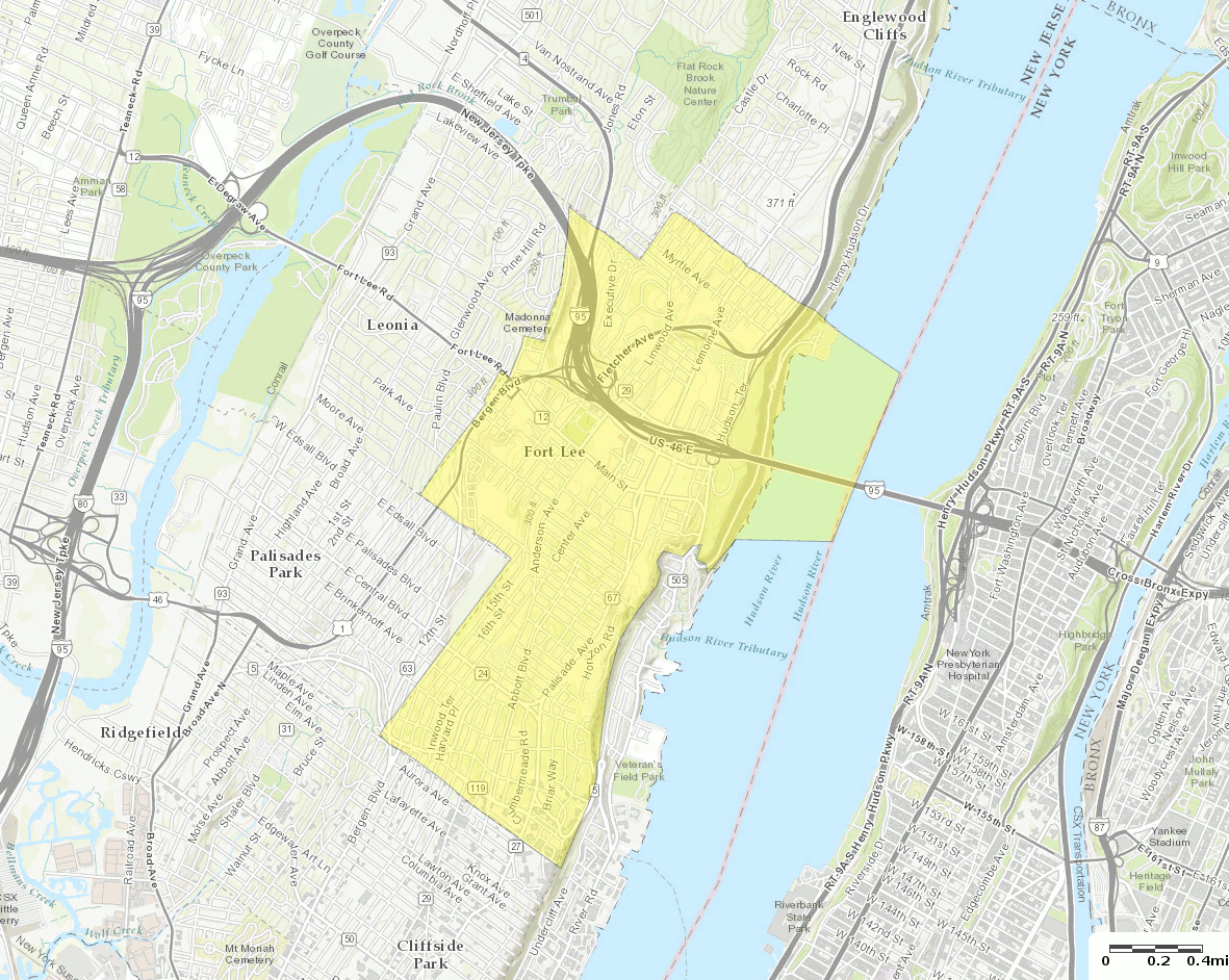
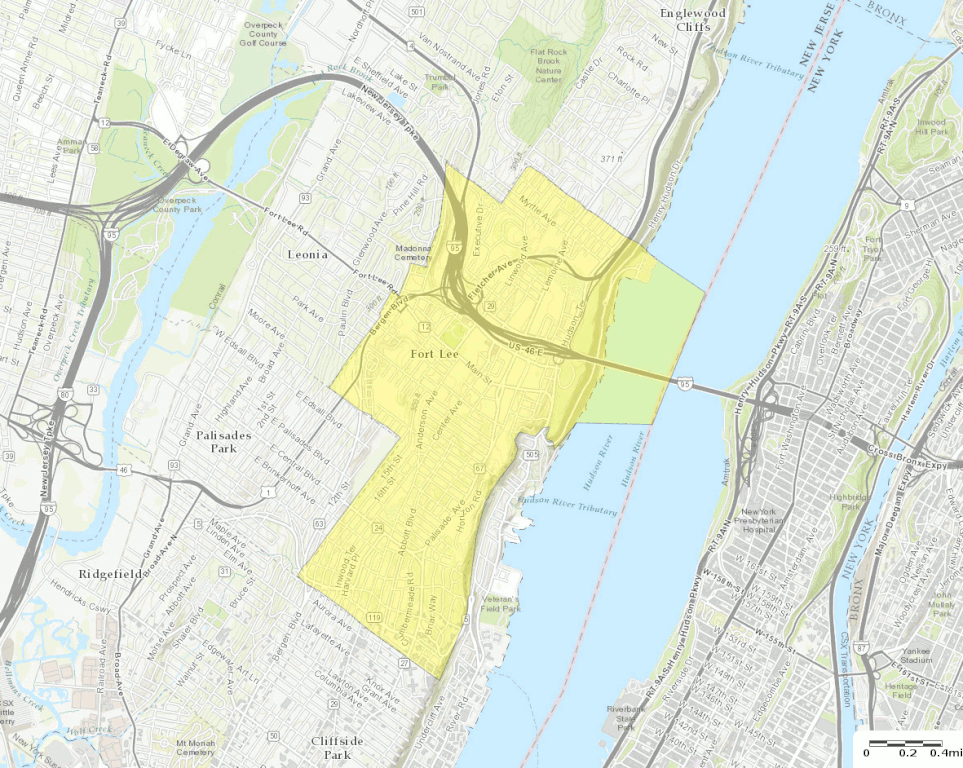
ファイル:Census Bureau map of Fort Lee, New Jersey (2).gif
このプレビューのサイズ: 752 × 600 ピクセル。 その他の解像度: 301 × 240 ピクセル | 602 × 480 ピクセル | 963 × 768 ピクセル | 1,181 × 942 ピクセル。
元のファイル (1,181 × 942 ピクセル、ファイルサイズ: 751キロバイト、MIME タイプ: image/gif、0.1秒)
ウィキメディア・コモンズのファイルページにある説明を、以下に表示します。
|
.gif?uselang=ja)
.gif?uselang=ja)
.gif?uselang=ja&action=history)
.gif)
概要
| 解説 |
English: U.S. Census Bureau map of Fort Lee, New Jersey |
| 日付 | |
| 原典 | http://factfinder.census.gov |
| 作者 | United States Census Bureau |
| その他のバージョン |
 |
ライセンス
|
|
 |
ファイルの履歴
過去の版のファイルを表示するには、その版の日時をクリックしてください。
| 日付と時刻 | サムネイル | 寸法 | 利用者 | コメント | |
|---|---|---|---|---|---|
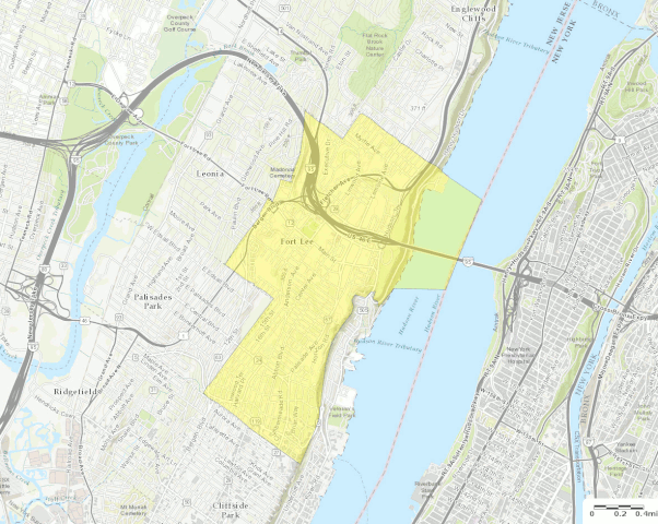
| 現在の版 | 2016年10月13日 (木) 20:58 | | 1,181 × 942 (751キロバイト) | BurritoBazooka | a tad smaller, now that I can see it in the articles |
| 2016年10月13日 (木) 20:49 |  | 1,787 × 1,300 (1.61メガバイト) | BurritoBazooka | larger map (but showing about the same surrounding boroughs), with roads labelled and important roads more clearly visible. Primary reason for new upload: to show importance of I-95. |
ファイルの使用状況
以下のページがこのファイルを使用しています:
グローバルなファイル使用状況
以下に挙げる他のウィキがこの画像を使っています:
- en-two.iwiki.icu での使用状況
- en.wikinews.org での使用状況
- fa.wikipedia.org での使用状況
- fr.wikipedia.org での使用状況
- sh.wikipedia.org での使用状況
- ur.wikipedia.org での使用状況
.gif)