
ファイル:USA Region West relief location map.jpg

このプレビューのサイズ: 535 × 599 ピクセル。 その他の解像度: 214 × 240 ピクセル | 429 × 480 ピクセル | 686 × 768 ピクセル | 914 × 1,024 ピクセル | 1,867 × 2,091 ピクセル。
元のファイル (1,867 × 2,091 ピクセル、ファイルサイズ: 1.4メガバイト、MIME タイプ: image/jpeg)
ウィキメディア・コモンズのファイルページにある説明を、以下に表示します。
|
概要
| 解説 |
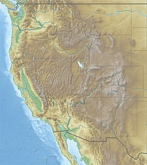
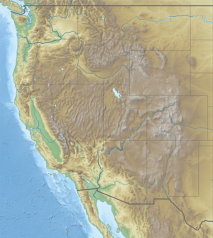
Deutsch: Physische Positionskarte der westlichen Staaten der USA
Quadratische Plattkarte, N-S-Streckung 130.0 %. Geographische Begrenzung der Karte: Equirectangular projection, N/S stretching 130.0 %. Geographic limits of the map:
|
| 日付 | |
| 原典 |
投稿者自身による著作物
|
| 作者 | Alexrk2 |
| その他のバージョン |
|


|
この地図は、ドイツ語版の(地図研究室)で制作、もしくは改善されたものです。更なる改善の為、地図を提案することもできます。
|
ライセンス
この作品の著作権者である私は、この作品を以下のライセンスで提供します。
このファイルはクリエイティブ・コモンズ 表示 3.0 非移植ライセンスのもとに利用を許諾されています。
- あなたは以下の条件に従う場合に限り、自由に
- 共有 – 本作品を複製、頒布、展示、実演できます。
- 再構成 – 二次的著作物を作成できます。
- あなたの従うべき条件は以下の通りです。
- 表示 – あなたは適切なクレジットを表示し、ライセンスへのリンクを提供し、変更があったらその旨を示さなければなりません。これらは合理的であればどのような方法で行っても構いませんが、許諾者があなたやあなたの利用行為を支持していると示唆するような方法は除きます。
ファイルの履歴
過去の版のファイルを表示するには、その版の日時をクリックしてください。
| 日付と時刻 | サムネイル | 寸法 | 利用者 | コメント | |
|---|---|---|---|---|---|
| 現在の版 | 2010年4月25日 (日) 11:59 | | 1,867 × 2,091 (1.4メガバイト) | Alexrk2 | == {{int:filedesc}} == {{Information |Description= {{de|Physische Positionskarte der westlichen Staaten der USA}} Quadratische Plattkarte, N-S-Streckung 130.0 %. Geographische Begrenzung der Karte: {{en|Physical location map of [[:en:Western U |
ファイルの使用状況
以下の 4 ページがこのファイルを使用しています:
グローバルなファイル使用状況
以下に挙げる他のウィキがこの画像を使っています:
- ar.wikipedia.org での使用状況
- az.wikipedia.org での使用状況
- ba.wikipedia.org での使用状況
- bn.wikipedia.org での使用状況
- ceb.wikipedia.org での使用状況
- de.wikipedia.org での使用状況
- Lolo Pass
- Loveland Pass
- South Pass
- McClure-Pass
- Independence Pass
- Vail Pass
- Tennessee Pass (Colorado)
- Fremont Pass
- Wilkerson Pass
- Ute Pass
- Red Mountain Pass
- Molas Pass
- Coal Bank Pass
- Wikipedia:Kartenwerkstatt/Positionskarten/Nordamerika
- Berthoud Pass
- Bald Mountain Pass
- Vorlage:Positionskarte USA West
- Wikipedia:Kartenwerkstatt/Archiv/2010-04
- Togwotee Pass
- Two Ocean Pass
- Kingman Pass
- Dunraven Pass
- en-two.iwiki.icu での使用状況
- Alpine skiing at the 2002 Winter Olympics
- Cattle mutilation
- Jackson Hole
- Casper Mountain
- Battle of San Pasqual
- Alpine skiing at the 1960 Winter Olympics
- Women's Challenge
- Treasure Valley Community College
- Camas Prairie Railroad
- Intermountain West
- National Interagency Fire Center
- Vince Genna Stadium
- Lost Trail Pass
- Hungry Horse Dam
- Wichita State University football team plane crash
このファイルのグローバル使用状況を表示する。